Why Highway 101 Defies a Single Description
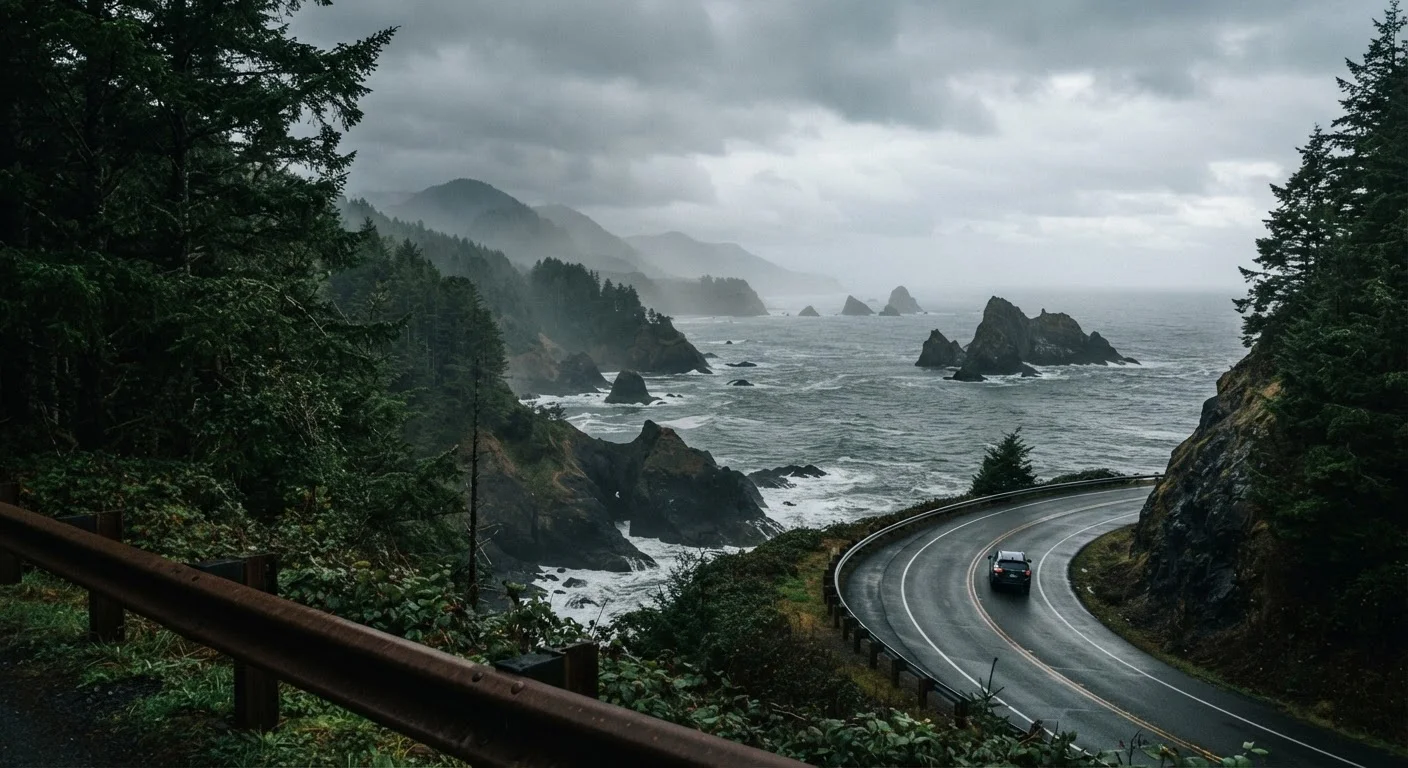
Highway 101 runs the full length of the Pacific Northwest coast - from Astoria, Oregon, at the mouth of the Columbia River, north through Washington's Olympic Peninsula and back again. No single stretch looks or feels like another. The road shifts from wide sandy beaches to rocky headlands, from dense temperate rainforest to exposed bluffs overlooking the open Pacific. Understanding what each segment actually delivers helps travelers plan a trip that matches their real priorities rather than generic coastal fantasy.
This segment-by-segment breakdown covers the major geographic sections that make up the Oregon and Washington portions of the route, noting terrain, key access points, and what conditions travelers can realistically expect.
Astoria to Cannon Beach: The Northern Oregon Opener
The corridor between Astoria and Cannon Beach sets a compelling tone. Astoria itself sits at the confluence of the Columbia River and the Pacific - a working port city with Victorian-era architecture, a visible fishing and maritime history, and elevated viewpoints from the Astoria Column. The drive south on 101 quickly reaches Ecola State Park, where the road briefly climbs forested headlands before descending to Cannon Beach.
Cannon Beach is one of the most recognized stretches of Oregon coast, anchored by the iconic Haystack Rock - a 235-foot basalt monolith accessible at low tide. The town is walkable and compact. Expect crowds in summer, particularly on weekends, but also genuinely dramatic scenery in all seasons. Fog is common, especially in June and early July, a phenomenon locals sometimes call Junuary.
Tillamook to Lincoln City: Dairying Country Meets Dune Country
South of Cannon Beach, 101 passes through the Tillamook Bay area. The terrain here flattens into broad estuaries and dairy farmland - a distinct contrast to the rocky headlands up north. The Tillamook Bay itself is a productive estuary supporting crabbing and clamming, though conditions and regulations change seasonally; always verify current rules with Oregon Department of Fish and Wildlife before participating.
Continuing south, the road reaches the Three Capes Scenic Route, a well-regarded detour that peels off 101 to pass Cape Meares, Cape Lookout, and Cape Kiwanda. Each cape offers a different character - lighthouse ruins, old-growth forest trails, and sandstone bluffs respectively. Lincoln City marks the transition point where the coast becomes more developed, with a wider range of lodging and services along a broad beach.
Oregon Dunes to Brookings: The Wild Southern Third
Between Florence and Coos Bay, the Oregon Dunes National Recreation Area spans roughly 40 miles - the largest coastal sand dune system in North America. The scale is genuinely surprising to first-time visitors: dunes reach heights of over 500 feet in places. Access points vary, and some areas permit off-highway vehicles while others are foot-traffic only. Check NPS signage carefully before entering.
South of Coos Bay, the coast becomes dramatically less populated. Bandon's beach is studded with sea stacks that photographers consider among the most compelling on the entire West Coast. Samuel H. Boardman State Scenic Corridor, near Brookings in Oregon's far south, strings together a series of natural arches, pocket coves, and old-growth forest trails accessible only on foot - a region that rewards slow exploration over windshield touring.
Washington's Olympic Peninsula: A Different World Entirely
Crossing into Washington after the Astoria-Megler Bridge, travelers enter a stretch of coast that feels genuinely remote. Washington's coast along 101 is largely defined by the Olympic Peninsula, where the highway curves inland through the Hoh Rain Forest and skirts the western edge of Olympic National Park. This portion receives some of the highest rainfall in the contiguous United States - the Hoh averages roughly 140 inches annually - producing moss-laden halls of Sitka spruce and bigleaf maple that look unlike anything along the Oregon coast.
The coastal unit of Olympic National Park - accessed via spurs off 101 rather than the highway itself - offers beaches that are roadless for long stretches, with tide pools, driftwood-stacked shores, and occasional wildlife including shorebirds and harbor seals. Cell service is unreliable throughout much of this region; download offline maps before departing and check NPS and Washington State travel advisories for seasonal closures.
Planning Notes for the Whole Route
The entire Oregon-Washington 101 corridor can be driven end-to-end in two to three days, but that pace leaves little room for trails, tidal exploration, or weather delays. Most travelers who want genuine engagement with the coast plan at least five to seven days. A few practical realities worth noting:
- Fog and overcast skies are normal along the entire route in summer. The clearest weather typically arrives in late August through October.
- Tides matter. Many of the most interesting access points - tide pools, sea caves, sandspits - are only reachable at lower tide stages. Consult a regional tide chart before planning beach time.
- Gas and services thin out considerably south of Coos Bay in Oregon and throughout most of the Olympic Peninsula in Washington. Fill up when you can.
- Entry fees apply at Oregon state parks (parking fees) and at Olympic National Park (federal pass); verify current fee structures with official park and state agency websites before visiting.
Highway 101 rewards travelers who resist the urge to speed through it. The most memorable moments tend to happen on the detours, the unmarked pullouts, and the two-hour tide-pool sessions that were never on the original itinerary.